We specialised in Autodesk Technologies and provides GIS solution that meets the full range of requirements in various domain including Natural Resources Municipal Solution, Utilities, Transportation, Construction Defense and Intelligence. CCM Systems focus on finding new ways to solve customer problems. This means continuously examining new technologies, processes and workflows to speed up production improve quality and save money.
- Site Suitability Analysis
- Geo-Referencing
- Map Integration
- Spatial Decision Support System
- Parcel Mapping
- Flood Mapping
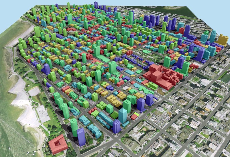
- 3D City Modeling
- Geologic Mapping
- Topographic Map Productions
- Forestry Mapping
- Image analysis
- Land Use/Land Mosaics Of Large Areas
- Vector Map Updates
- Land Use / Land Cover Mapping
- High-Resolution Urban Mapping
- Forest Density Mapping
- Forest Fire Mapping
- Hydrogeomorphic Mapping
- Feature Extraction And Digital Terrain And Surface Modeling
- PAN-Sharpened Multi-Spectral Imagery Products
- Color PAN-Sharpened Products
- Land Use/Clutter Classification